Maps and Directions to MX0RYG
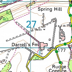
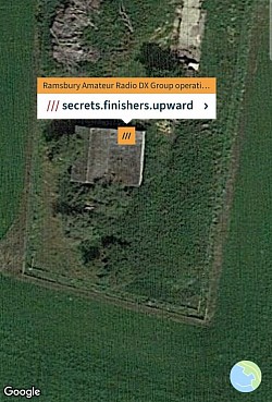
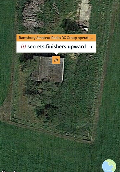
Below are Maps and Directions to the GB1RY operational site at the now disused RAF Ramsbury Airfield. Look out for the direction signs showing a silhouette of a C47 with the callsign above it.
Alternative routes to the Airfield at Ramsbury
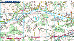
There are many ways to get to the old Airfield at Ramsbury, three from the A4, three from the B4192 and one from Marlborough. Any of these routes are easy to follow and there are directional signs near to the location of the operating station. The first three from the A4 all lead directly to the top of the hill near the site (just follow the road signs for Ramsbury. The three from the B4192 are Knighton, Whittonditch & Crowood, nearest to Hungerford is Knighton,which is the first Ramsbury turning on the left after Chilton Foliat, if coming from Swindon then Crowood is first on the right, if you miss this turning then the next on the right is Whittonditch. All three of these routes lead to the Square in Ramsbury. The route from Marlborough is via Minal (Mildenhall) then Axford and then the village Square where you will find located a rather nice pub called The Bell Inn. Heading out of the village as if going to Hungerford along Scholards Lane, on the right is the turning for Spring Hill, take this turning, proceed up the hill until you can see one of our directional signs, as seen in the picture above. Hopefully you will not get lost, but if you do, don't worry as we have a talk in station on 145.525 VHF manned by myself 2E0OQV (an ex Ramsbury lad) but using the GB1RY callsign & I can talk you all the way up to the operating tent.
